
Site plan
Plot boundaries, the access road, orientation, and where each plot sits on the slope.

Our projects
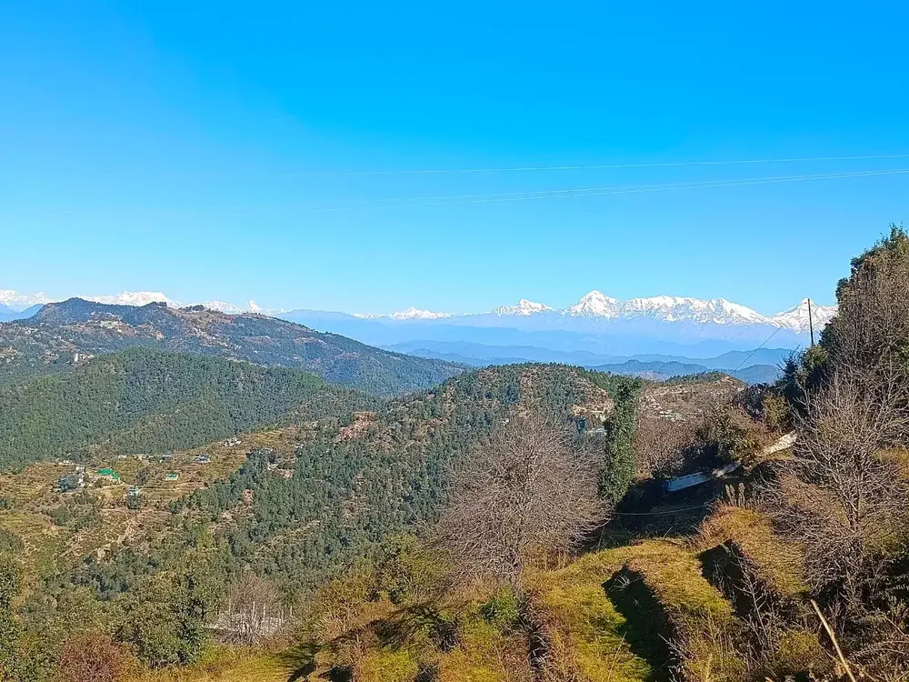
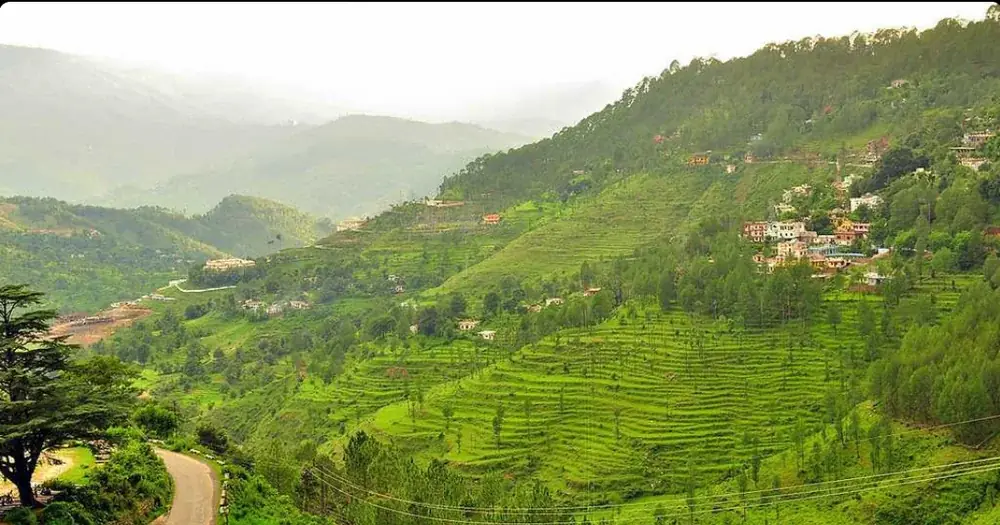
Terraced land on a south facing slope near Lamgara and Jageshwar Dham, in Almora district.
The land
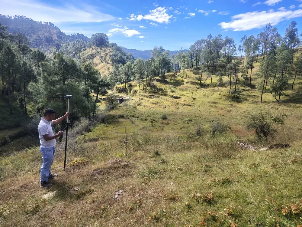
Old farming terraces, chir pine along the boundary, a gully on the eastern edge and a road you can drive to the top of the slope. Every photograph here was taken on site.
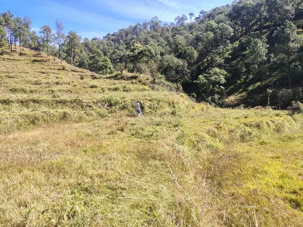
The land faces south, so it holds sun through the winter. Pine and oak sit on the ridge behind, and the ground falls away north west towards the valley. On a clear morning you can see the snow line along the whole northern horizon.
Documents
Both come to you as PDFs. Leave a name and a number and the download starts straight away. We use the details only to answer your questions.
Plot boundaries, the access road, orientation, and where each plot sits on the slope.
Rates, the payment stages, what the price covers, and the registry and mutation costs you pay separately.
Included
Khatauni, khasra, the village map and the owners' identity proof, all shown before you pay.
Your plot corners are pegged on the ground before you visit, so you can walk the boundary.
[CONFIRM: access path or road width to each plot]
A native sapling planted at Harela each July, with a copper plaque from Almora.
Getting around
We are working through the papers on land at [AREA]. Leave your number and you will hear before it goes public.
Tell me firstIf you have land in Uttarakhand, we can plan it, market it and sell it with you, and build on it for the buyer.
Talk to usThe drive up
Kathgodam is the last railhead. After that it is about three hours of hill road, and the temperature drops the whole way.
Next step
Leave your name and number. We will send both PDFs and call you back within one working day.
Prefer to talk now? WhatsApp [NUMBER]
Your details stay with us. We use them only to answer your questions about the project.